Welcome to my portfolio.
My work sits at the intersection of data, place, and thoughtful problem-solving. Each project represents a version of the same process: taking complex, real-world information and shaping it into clarity through structured analysis, careful modelling, and purposeful visualization.
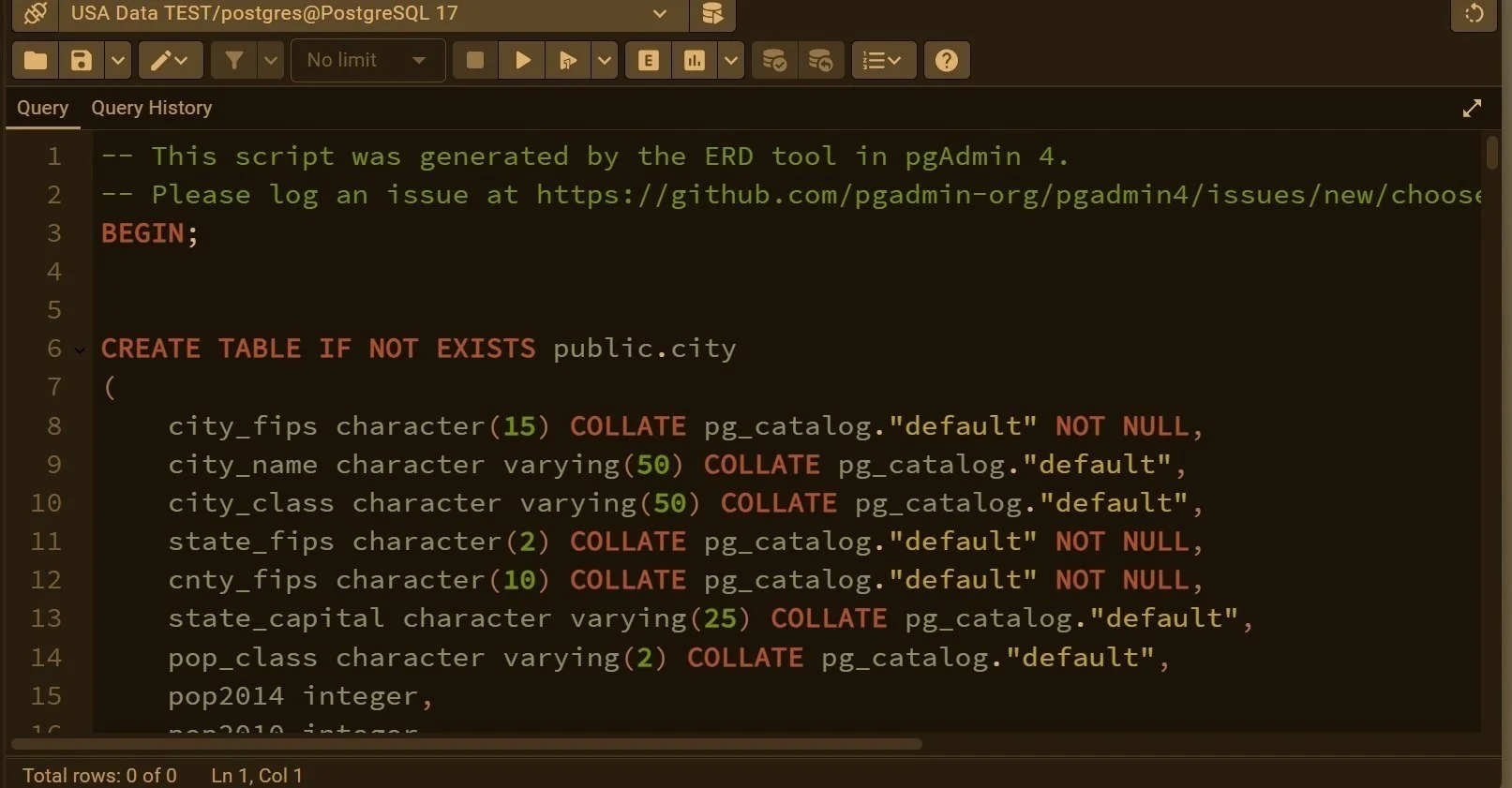
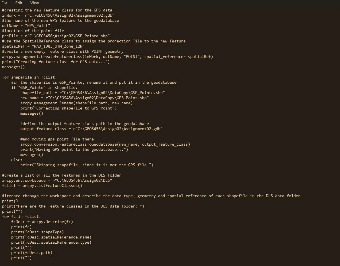
Here you’ll find projects on wildfire recovery, urban crime patterns, land-cover and habitat modelling, transportation safety, and standardized data workflows built with Python, SQL, and ArcGIS Pro. What connects them is a commitment to making data useful—turning raw information into something reliable, understandable, and actionable.
Click any image below to explore the full project, including methods, analysis, and visualizations.