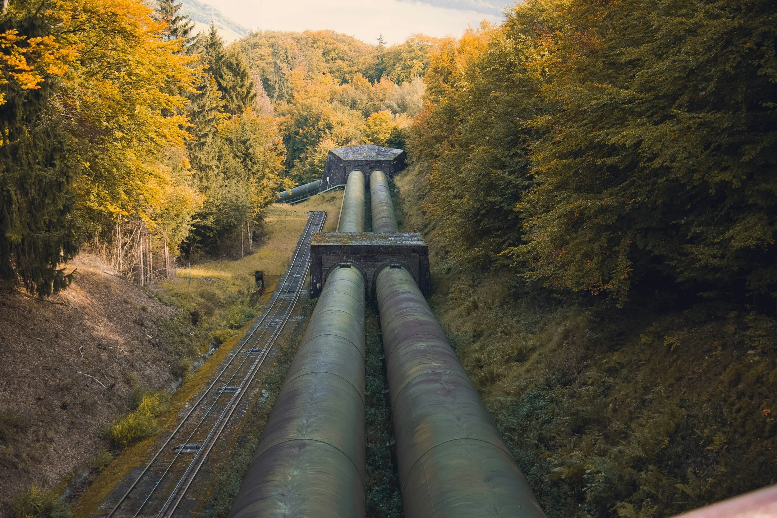
This project involved identifying the optimal route for a hypothetical pipeline to minimize construction costs, based on six key criteria, including slope, land cover, and proximity to roads and rivers.
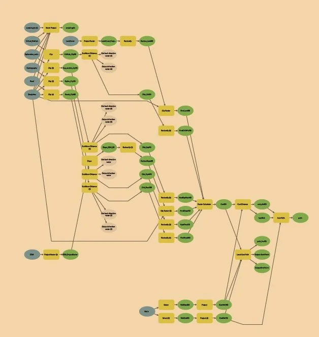
Key skills demonstrated include raster analysis techniques such as reclassification and raster combination. Additionally, I utilized ArcGIS Pro tools to generate cost surfaces and determine the least-cost path. To enhance efficiency, I automated the process using ModelBuilder, streamlining tasks like clipping, reclassification, and final path generation with both raster and vector outputs.
Included are screenshots of the project and a visual of the successful ModelBuilder workflow.