
Response Time To LRT Stations in Calgary
GeoCoding anD Driving Time Estimates
This project is a continuation of my project examining disorder crime and transit stations, focusing on building geospatial data when the original data is limited. In addition, this project used geocoding in ArcGIS to properly locate the police stations. Points were verified and corrected using Google maps.
All data sourced from City of Calgary Open Data Portal.

Geocode Police Stations
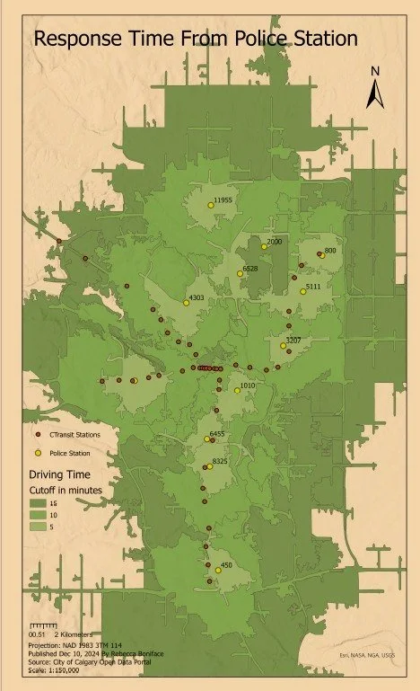
Service Times with Police and LRT Stations
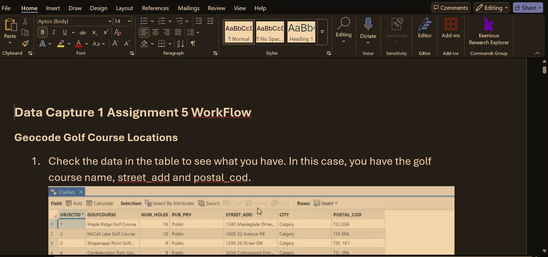
Work Flow Document For GeoCoding and Service Areas